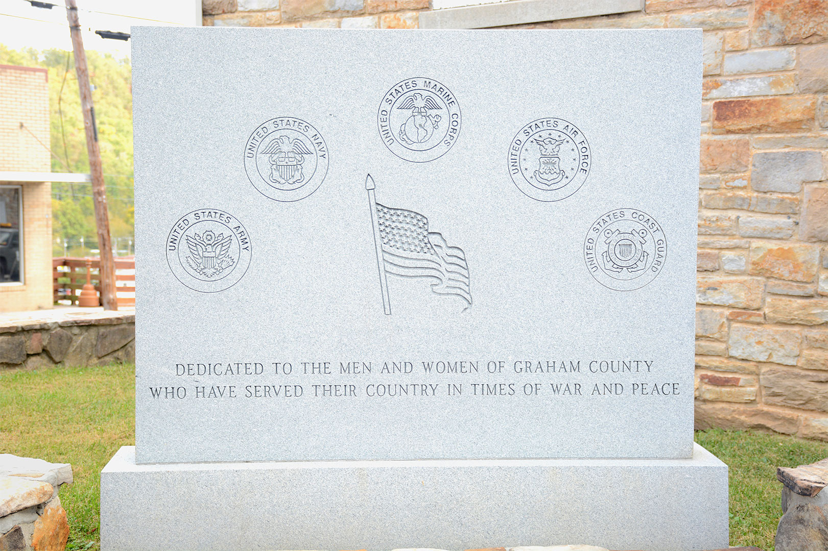
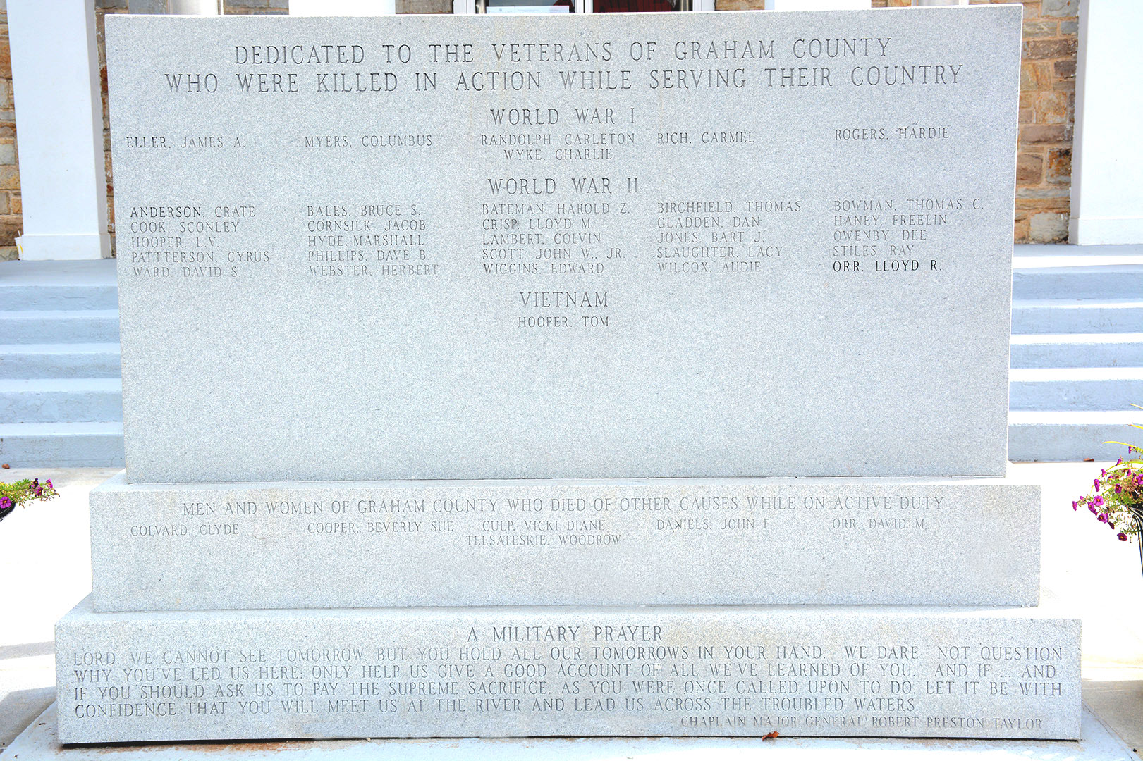
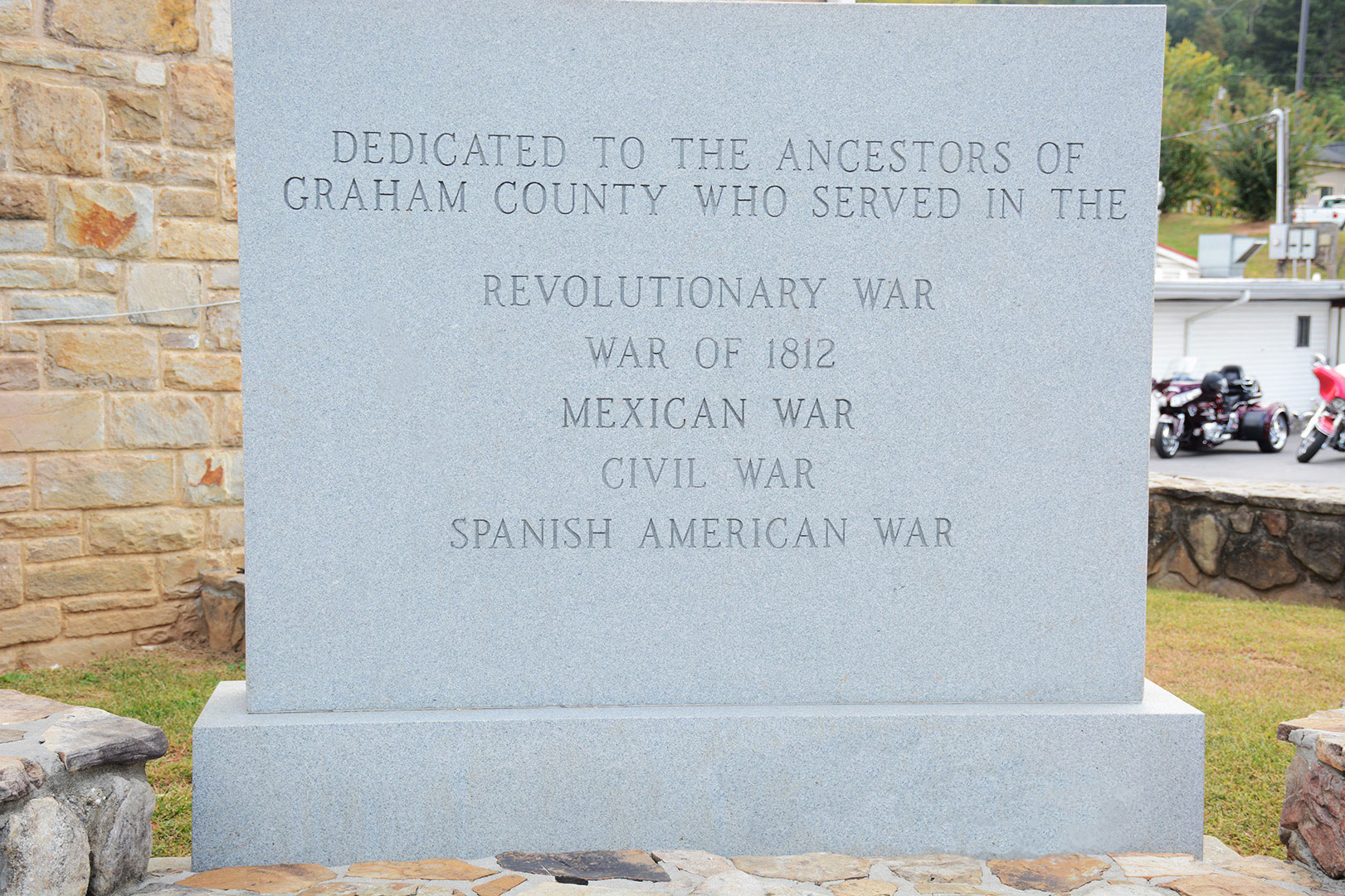
The courthouse occupies a prominent location in the heart of downtown Robbinsville, located at 12 North Main St. It is the administrative seat of Graham County, North Carolina. The current courthouse is a Classical Revival structure designed by Barber and McMurry of Knoxville, Tennessee, and completed in 1942. It is the third courthouse to stand on the property. The building was listed on the National Register of Historic Places in 2007.


History of Robbinsville
• Around year 1840-1843, Thomas Cooper and Colonel William H. Thomas established a trading post on Rhea Hill, site of present Robbinsville Elementary School. This store later remodeled and expanded by George Walker and was operated by Thomas Cooper and is believed to be the first store in this section. Later on, Wiley King moved to this area and replaced Thomas in the enterprise, and the store became the King-Cooper Store.
• The first post office was established in 1843, and was housed in the King-Cooper Store (located on the present Robbinsville Elementary School site) with Wiley King as the first postmaster. The post office was originally listed as Cheoah Valley, changed to Fort Montgomery in 1849. Fort Montgomery was granted a U.S. Post Office on February 28, 1849 in Cherokee County, and its first Postmaster was J.P. Colvard. Fort Montgomery name was changed to Robbinsville on June 9, 1874, and its first Postmaster was Perley A. Aiken. It has been in continuous operation ever since inception.
• Most claim Robbinsville was named after Senator James L. Robinson of Macon County North Carolina; some believed the name may have been derived from Mr. Robbins of Clay County, North Carolina who taught at the first school. Robbinsville was incorporated on June 9, 1874.
• Robbinsville and Graham County’s economy has deep agricultural roots. For over a century, farms provided chickens, corn, tobacco, and even Christmas trees for other North Carolinians and Americans. In the early twentieth century, small industrial manufacturers moved into the region and textile plants and cheese, furniture, and lumber factories dotted the valleys.
By the late twentieth century, tourism become a booming industry replacing agriculture’s importance. Tourists come from everywhere to view the county’s mountainous countryside.
History of Fort Montgomery
No plaque exists to mark exact location of Fort Montgomery. The Fort existed in 1838 and was located on what is now known as Fort Hill near the water tower on West Fort Hill Road. In May 1838, North Carolina troops established Fort Montgomery to serve as a base of operations for the removal of Cherokees from communities in the Cheoah River Valley. By mid- June, they had gathered several hundred prisoners, but delayed moving them due to deadly outbreak of whooping cough. Two weeks later, the troops marched the survivors on the army road over Snowbird Mountain to Valleytown (presently Andrews) and from there, to Fort Butler (presently Murphy).
Many Cherokees from the Cheoah River area were eluded capture, hiding in the Snowbird and Yellow Creek mountains. After the troops departed, the fugitives returned to the valley and reestablished the Buffalo Town community under the leadership of Dickageeska. Their descendants now form the Snowbird community in Graham County.
Brief history of the Trail of Tears
Early records show that the first white settlers lived harmoniously with the Cherokee in western North Carolina. But when gold was found in the region, the Cherokee were forced to leave tribally occupied lands. In 1830, President Andrew Jackson signed the “Indian Removal Act” which gave the federal government the power to exchange Native-held land in the cotton kingdom east of the Mississippi for land to the west, in the “Indian colonization zone” that the United States had acquired as part of the Louisiana Purchase. (This “Indian territory” was located in present-day Oklahoma.)
President Andrew Jackson ignored the Supreme Court ruling. He directed the US Army to capture all the Cherokee they could find and force them to move. The US Army followed the presidents direction. The Supreme Court did nothing.
By 1838, only about 2,000 Cherokees had left their Georgia homeland for Indian territory. President Martin Van Buren sent General Winfield Scott and 7,000 soldiers to expedite the removal process. Scott and his troops forced the Cherokee into stockades at bayonet point while whites looted their homes and belongings. Then, they marched the Indians more than 1,200 miles to Indian territory. Whooping cough, typhus, dysentery, cholera and starvation were epidemic along the way, and historians estimate that more than 5,000 Cherokee died as a result of the journey.
By 1840, tens of thousands of Native Americans had been driven off of their land in the southeastern states and forced to move across the Mississippi to Indian territory. The federal government promised that their new land would remain unmolested forever, but as the line of white settlement pushed westward, “Indian country” shrank and shrank. In 1907, Oklahoma became a state and Indian territory was gone for good.
The journey became a cultural memory as the "trail where they cried" for the Cherokees and other removed tribes. Today it is widely remembered by the general public as the "Trail of Tears".


